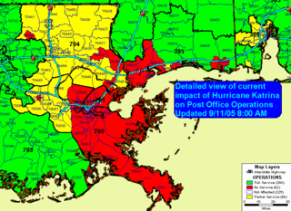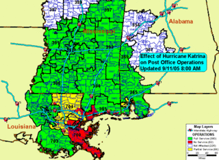

The map to the left shows the status of all USPS Post Offices that were affected by Hurricane Katrina and the floods earlier this month (August - September 2005). Green coded areas indict fully operational post offices, yellow represents partial service, red represents NO service, while white are offices not affected. This information is as of Wednesday 9-11-05 8:00 AM
Click on the maps for a larger image.
No comments:
Post a Comment